

View Gallery
4 photos
Ereikoussa
Description
Othonoi and Ereikoussa
Both Othonoi and Ereikoussa belong to the Diapontian Islands.
Those are located 6 kilometres northwest of Corfu and 40 kilometres away from the Italian coasts. They constitute a unique island complex as well as they administratively belong to the Corfu Regional Unit. A few words about Ereikoussa Ereikoussa constitutes the second biggest island of the Diapontian Islands with 400 inhabitants, while it is the northern spot of the Ionian Islands. Its name derived from the heather (i.e. “Riki”), which grows all over the surface of the islet.
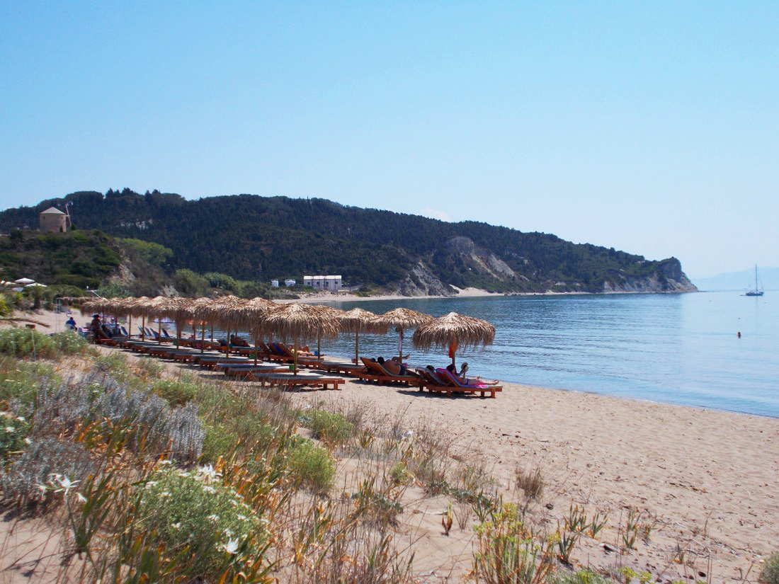
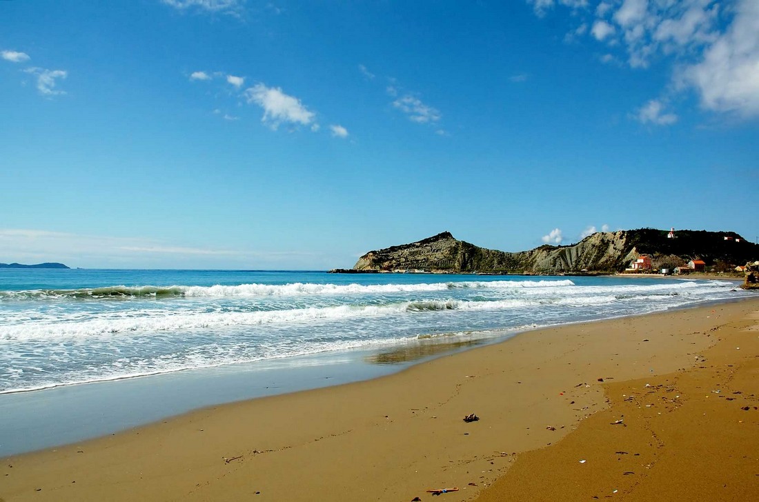
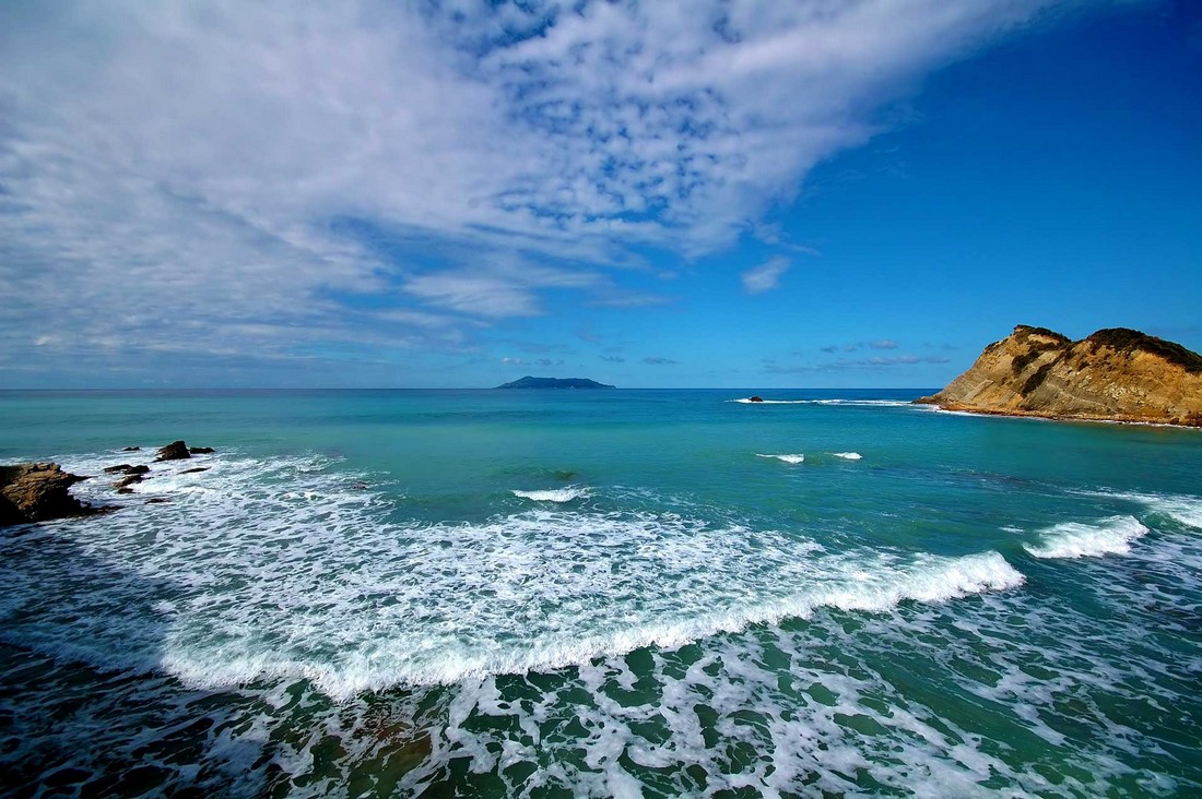
It has also a second name of “Merlera”, which was given by some cartographers on the 16th century. Today, the islet disposes only one port, known as “Porto”, whereas it is an organised, endless shoreline with crystal-like waters. Amazing corners all over the Island From the highest spot “Santardo”, which is 130 meters high, anyone can enjoy a panoramic view down to the leafy and lavish Ereikoussa. Another beach carries the name of “Birgini”, which is located on the east side of the island and it amazes with its soft, golden sand. Nevertheless, the most beautiful spot of the island is the “Pera Katergo”, also the only place, which is covered by stone. There, a stoned Cross evinces a navy accident, which happened around 100 years ago.
Similar Map Points

Spianada Square
Upon request

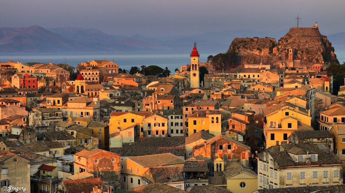
Old Fortress
Upon request

New Fortress
Upon request

Achilleion
Upon request
Old Town
Upon request

Pontikonisi Island
Upon request